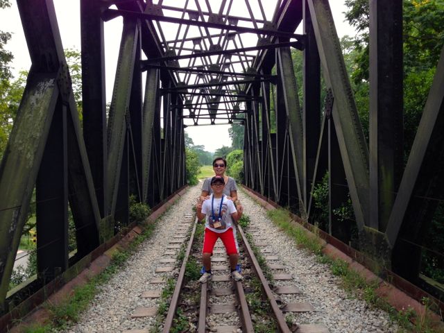
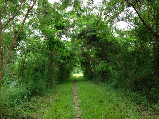
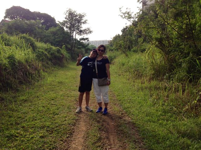
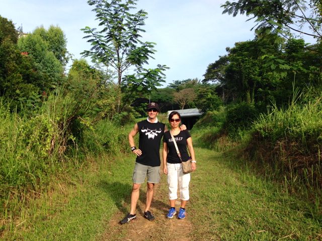
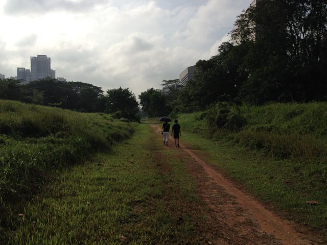
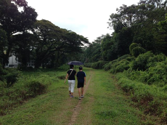
When the Malaysian train lines stopped running into Singapore on June 30th, 2011 after 79 years of use (it was built by the British in 1932), the rails were torn up, the railway ties removed, and the gravel gathered away, leaving a nice clean path cut through the forest. It’s been turned over to the public, which can use it to wander up and down, and we’ve been exploring it in sections. In early November, Zen and I explored the middle section, which is near where we live, from the Bukit Timah Station, south to where the line intersects with Holland Road. This section is nearly entirely rain forest, and we saw some beautiful birds. That trip was about five kilometers.
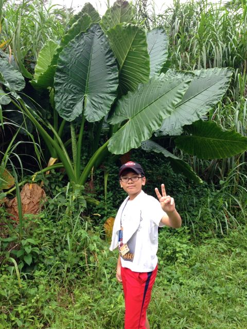
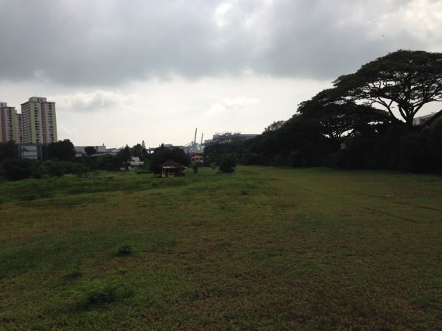
On Thursday, we went to Bukit Timah Station, crossed the old iron bridge, and walked north, passing Bukit Timah Nature Reserve, through forests – where we observed plants with giant leaves, beautiful butterflies, a funky-coloured moth, squirrels, and plenty of birds – before getting to grassy areas, and then a long stretch that runs parallel to Upper Bukit Timah Road. Some runners on the track, and also some cyclists as well. At one point, they’ve taken out a train bridge, so we had to detour around that a bit (and we noticed that the track was much less-used on this north part. Finally we got off the tracks and headed over to Karu’s Indian Banana Leaf Curry, where we once went with my brother and his family, for a great lunch. We got there at 11:00 just as it opened and were one of the first customers. Our trip for the day was about six kilometers.
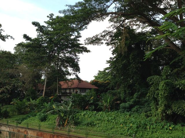
Today, we decided to explore the southernmost part of the line, so we took a bus to Holland Road, clambered down to the train route, and walked and walked. That is such a beautiful way to see Singapore – we passed the back yards of mansions, saw a school, passed rustic-looking HDB buildings (the old ones – only three levels), saw some sort of mansion, and all sorts of things. At one point I thought that I was in Bali!! Cyclists pass us, and we kept walking and walking. Eventually, the track runs parallel with the Ayer Rajah Expressway, so it became quite loud. The last kilometer before we got to the end of the line was no longer much fun. As we approached the old cialis daily dose, where the track used to widen into train yards, we got to the end of the line, as the train yards and station area is fenced off. We got off the trail and onto a city road and took a bus into Chinatown where we had a nice lunch again. This time we went back to Jing Hua restaurant where we had great Chinese dumplings and potstickers. We were also among the first to eat there, as we got there at 11:20 and the place opens for business at 11:30. Good thing we were early, the place filled up very fast! A lot of walking that day – the hike was about 11 kilometers.
There’s still a 9.5 kilometer section that we haven’t explored yet, which runs north of Karu’s to the border checkpoint, but I don’t think that this will be a very nice trip, so I think we’ll skip it. I believe that the total length is about 30 kilometers, although something about my math doesn’t add up because there’s only supposed to be tadalafil 20 mg cheap. Oh well…
Update – The area we walked along has now been officially named the “Green Corridor“. Find maps of the whole route here.
Green corridor
Green corridor
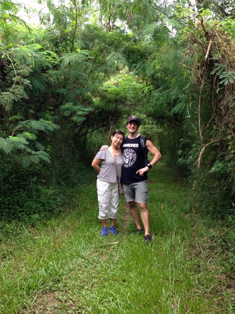
Smile!
…and a nice lunch to top it off!
…and another nice lunch to top it off
